.jpg)
Great Digital Capture balances: Precision, Clarity, and Efficiency.
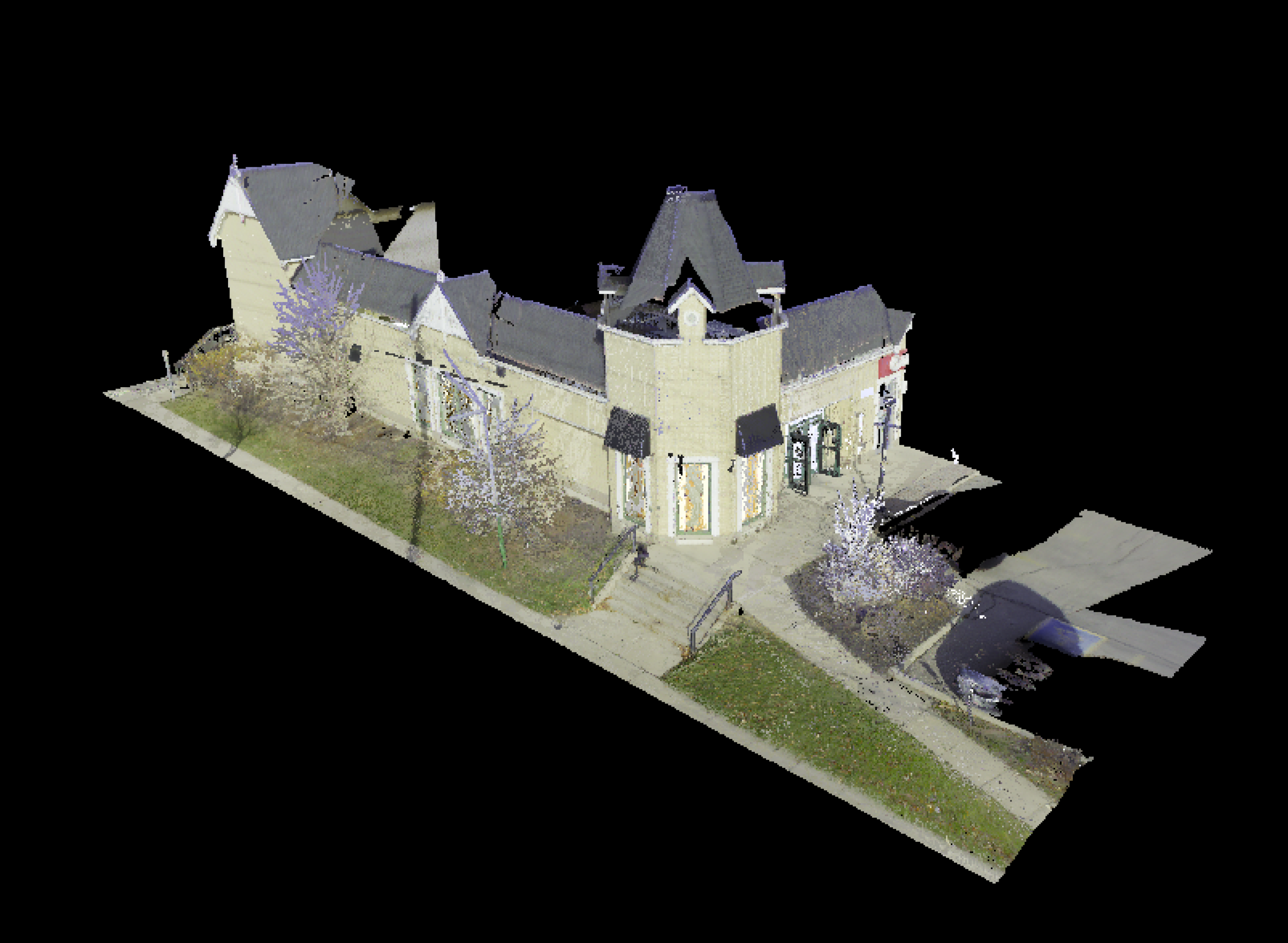
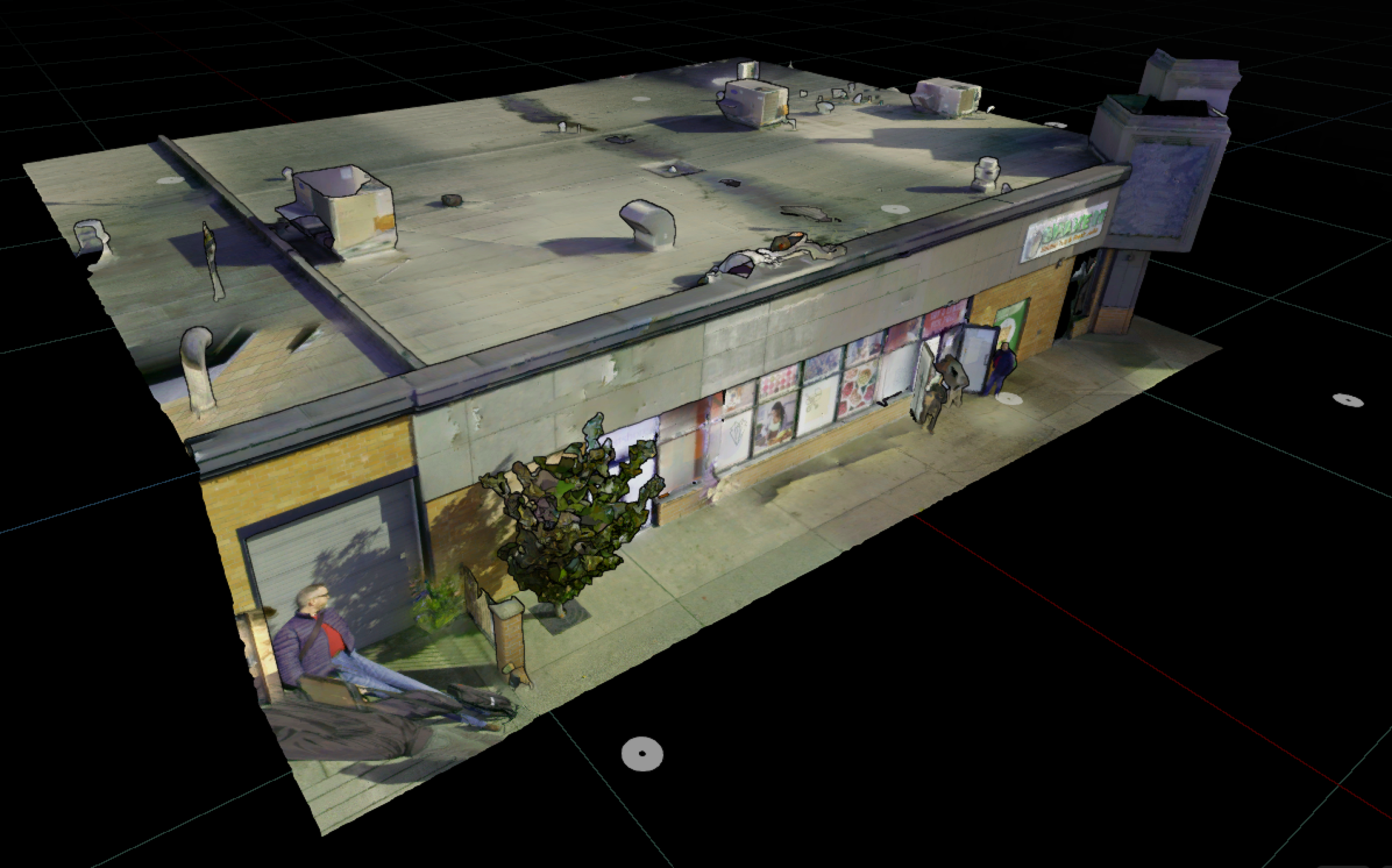
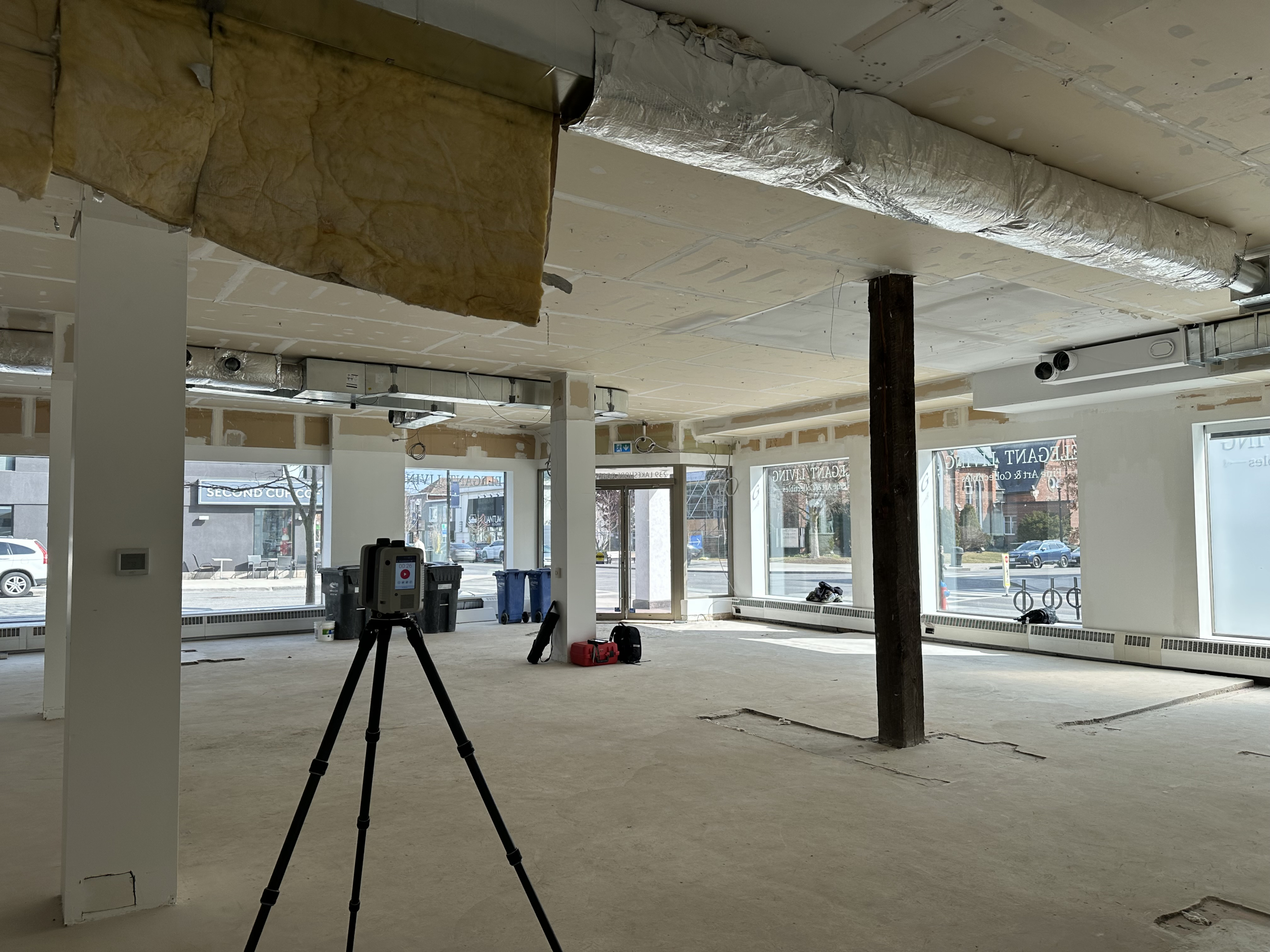
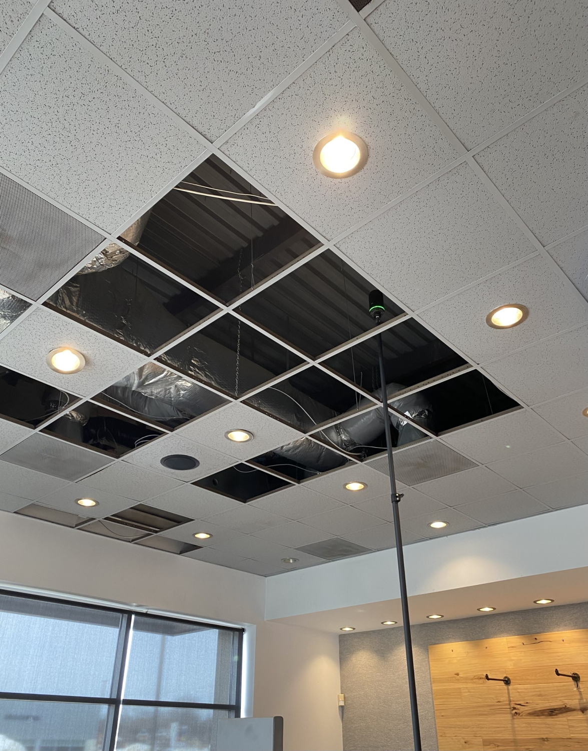
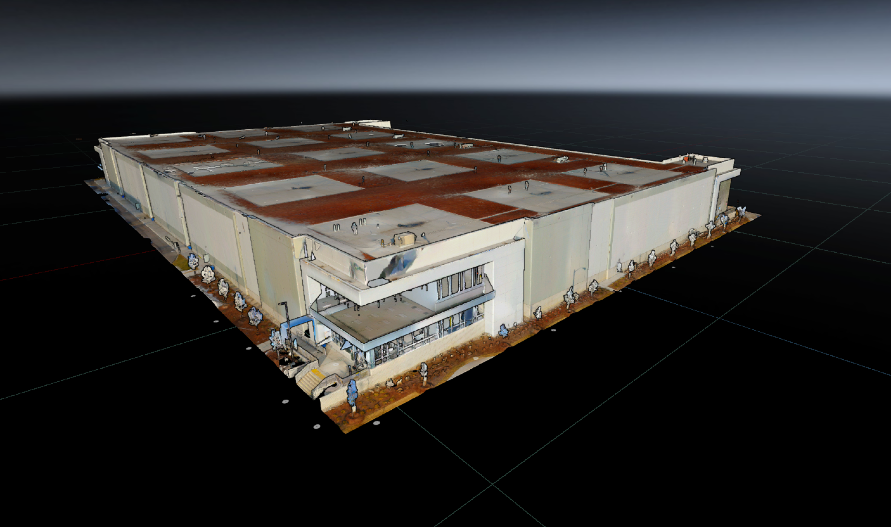
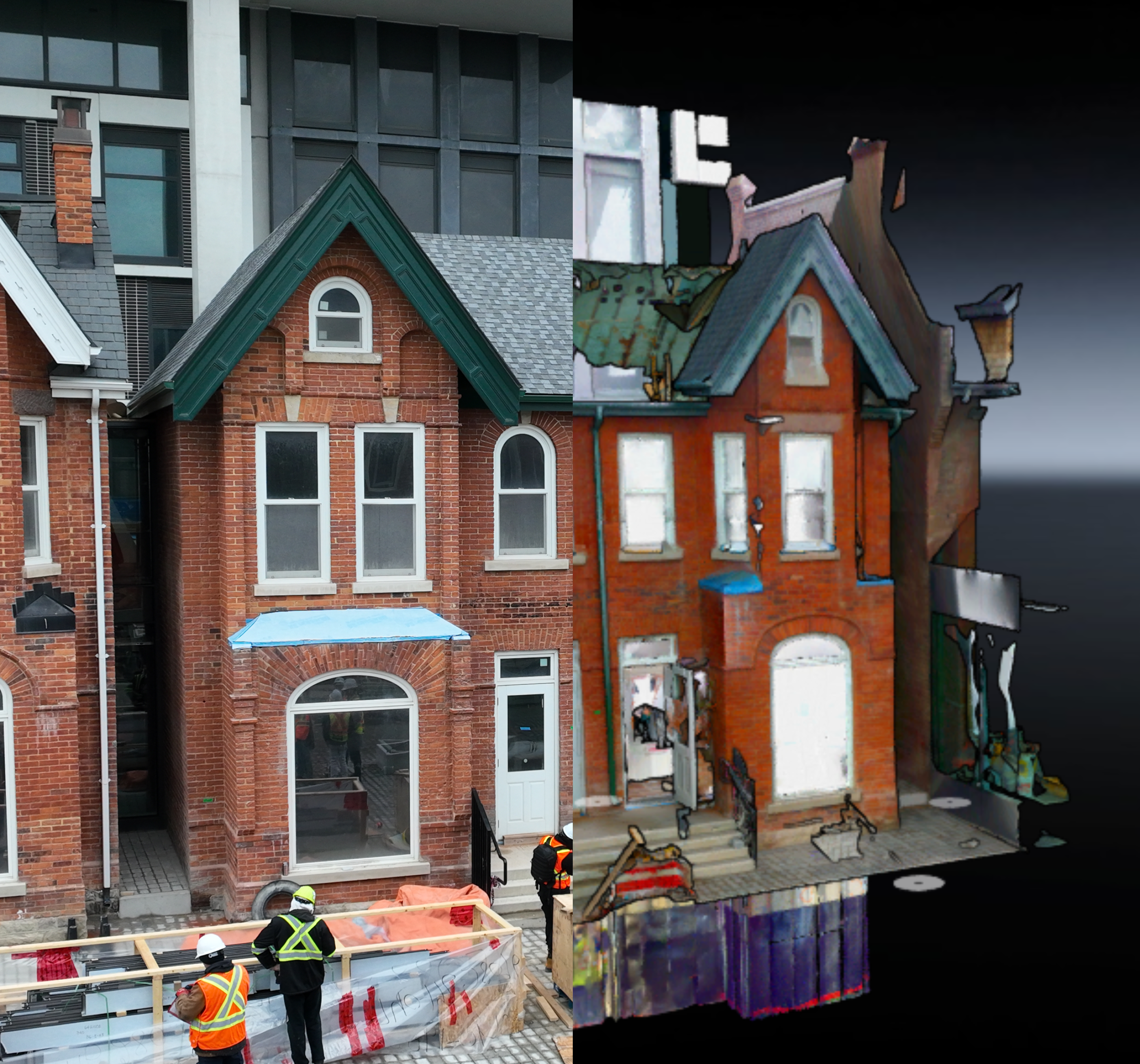
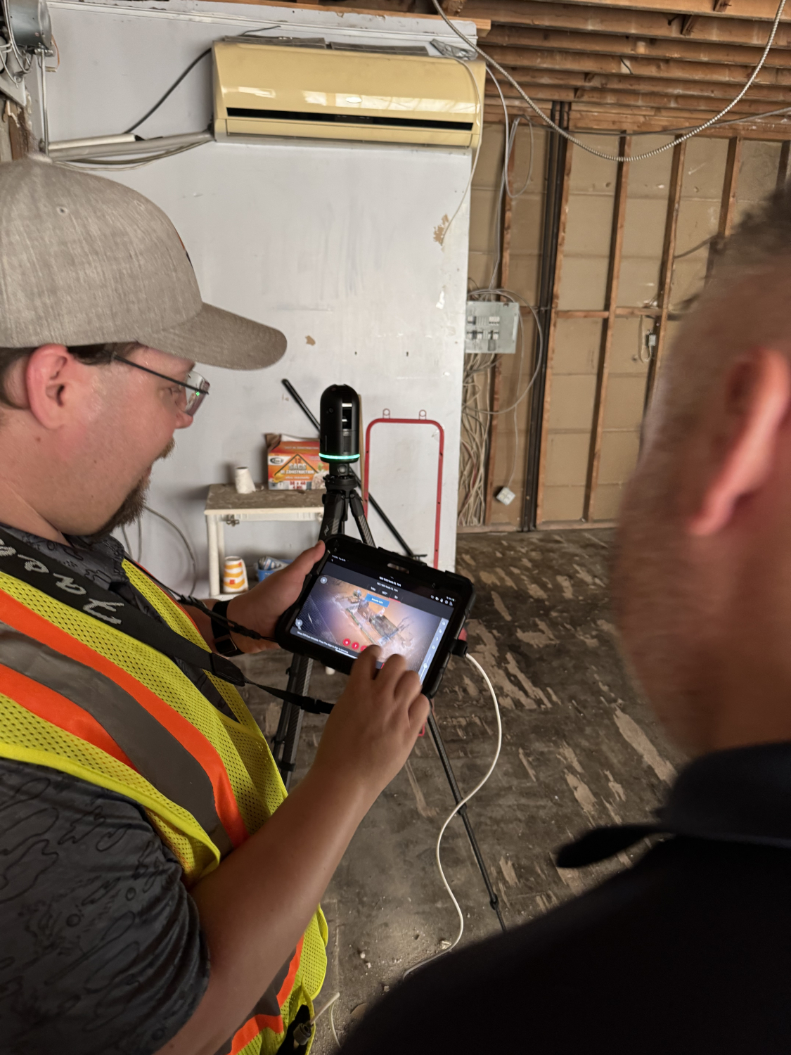
High-precision 3D scanning captures accurate existing conditions to inform design, coordination, and construction. At AMAS, we combine LiDAR technology with expert interpretation to deliver reliable data efficiently. Laser scanning and digital modeling support renovations, expansions, and complex coordination.
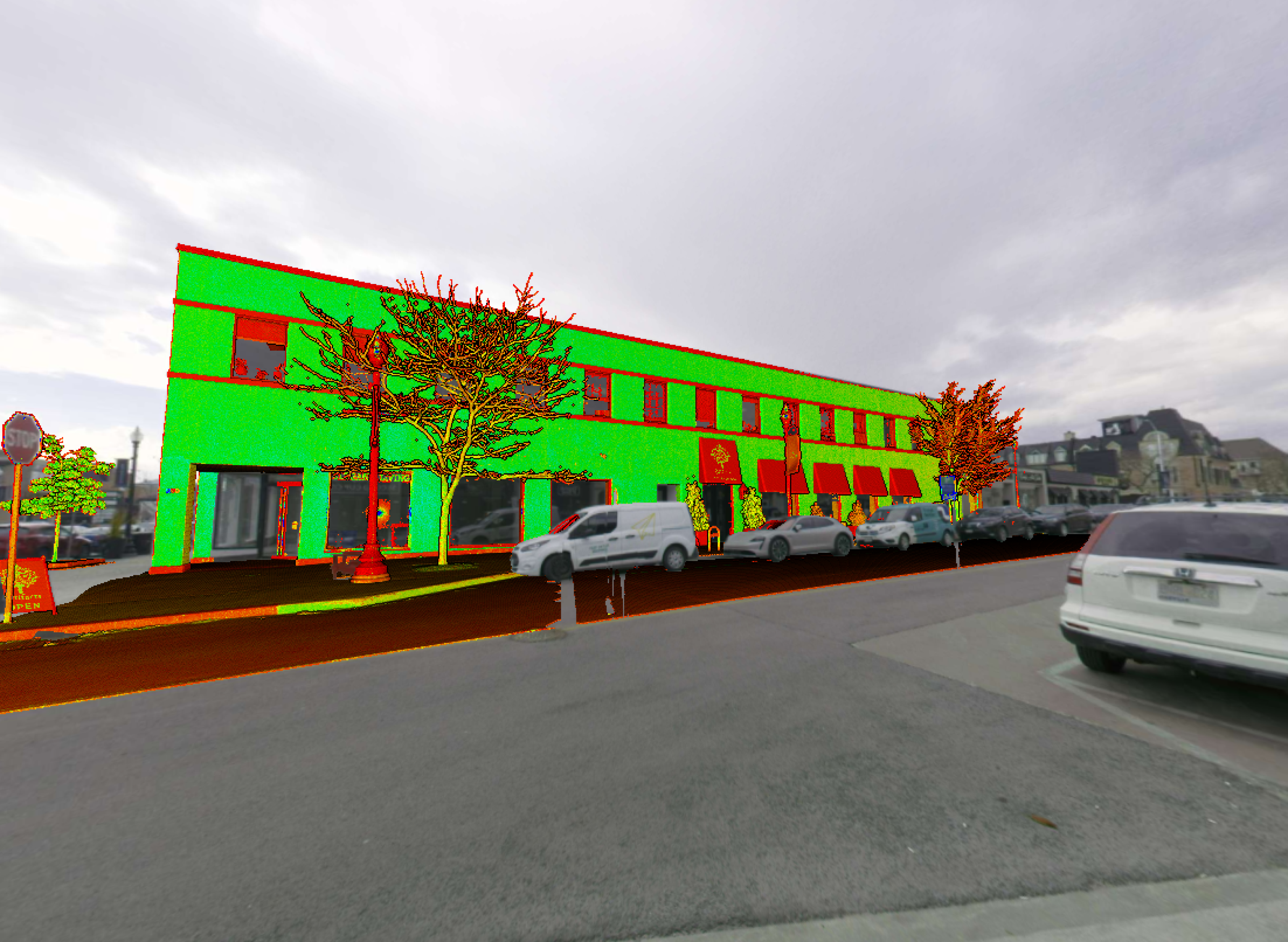
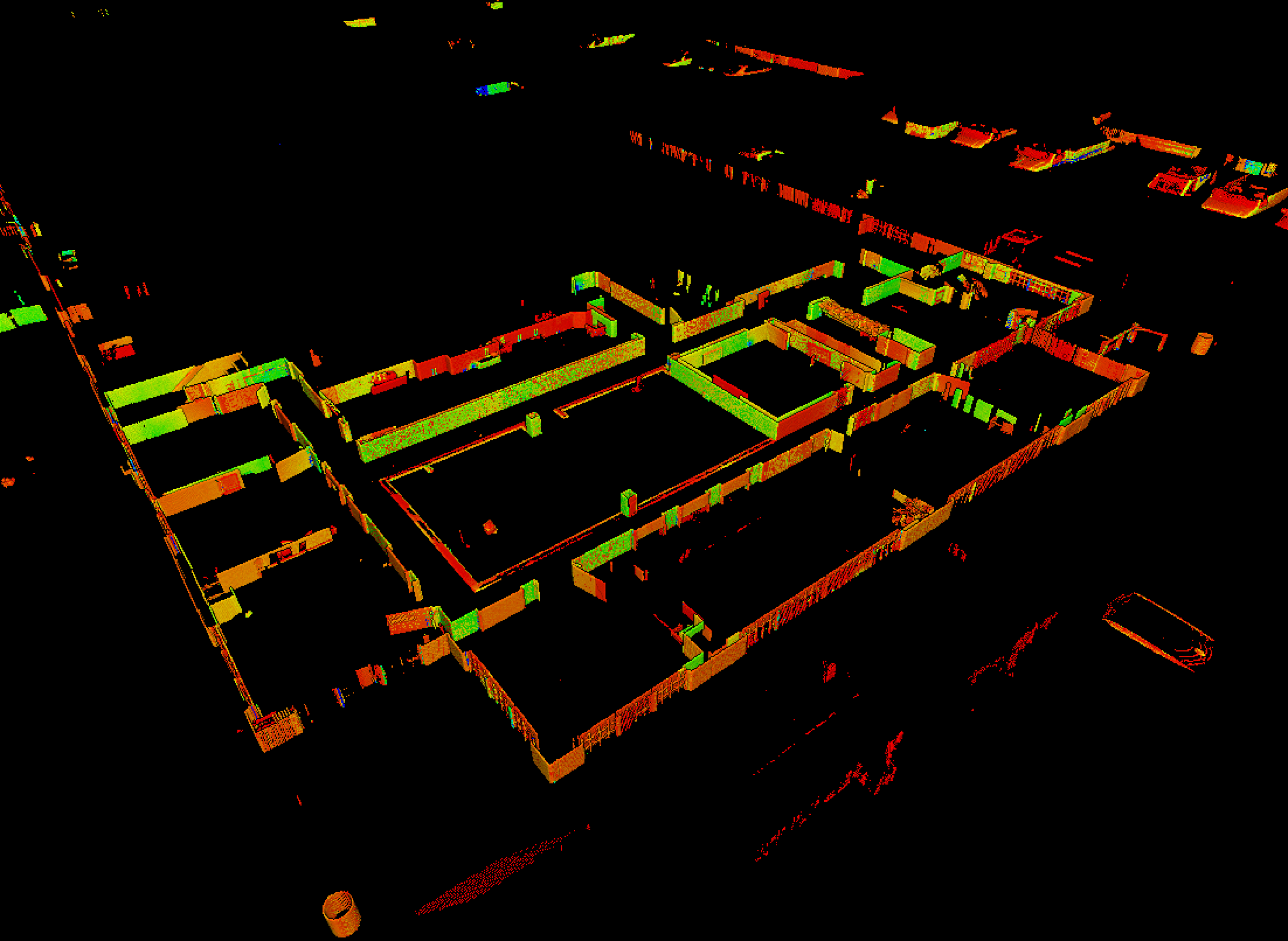
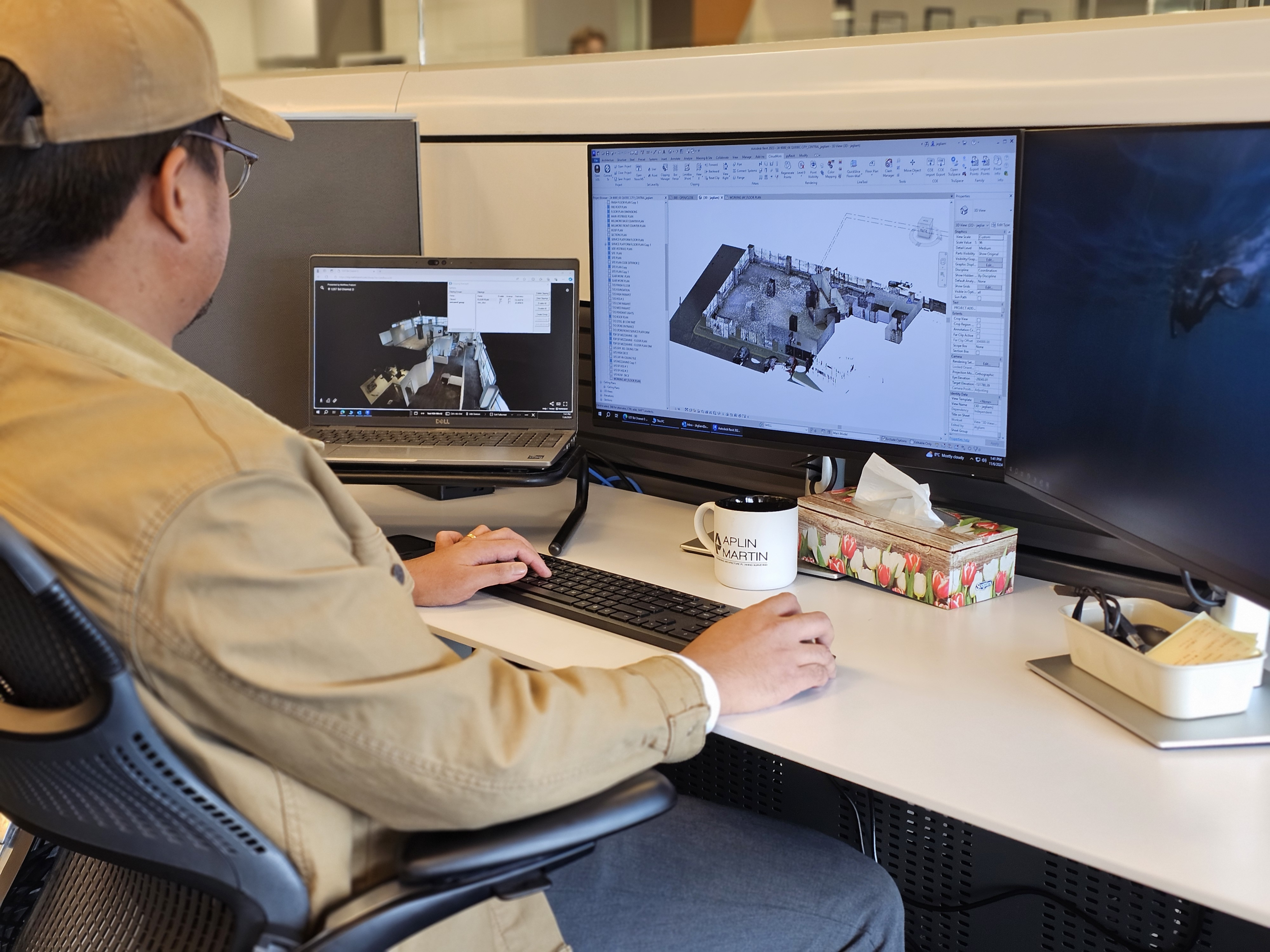
Emerging municipal requirements across Canada are increasing the need for accurate as-built documentation and area certification. Point cloud data is converted into BIM-ready models, providing a clear understanding of various project types and site conditions.
Scan data is translated into actionable information for project teams. Early insights reduce risk and streamline workflows. Teams can visualize spaces, verify dimensions, and identify challenges before construction begins. The result is a predictable process that saves time, reduces cost, and improves outcomes.
Services include:
- Laser scanning and point cloud data capture of existing/completed buildings and sites
- Area certification for leasing and asset verification pre and post design, renovation and/or retrofit planning
- Conversion of scan data into coordinated digital models and drawings
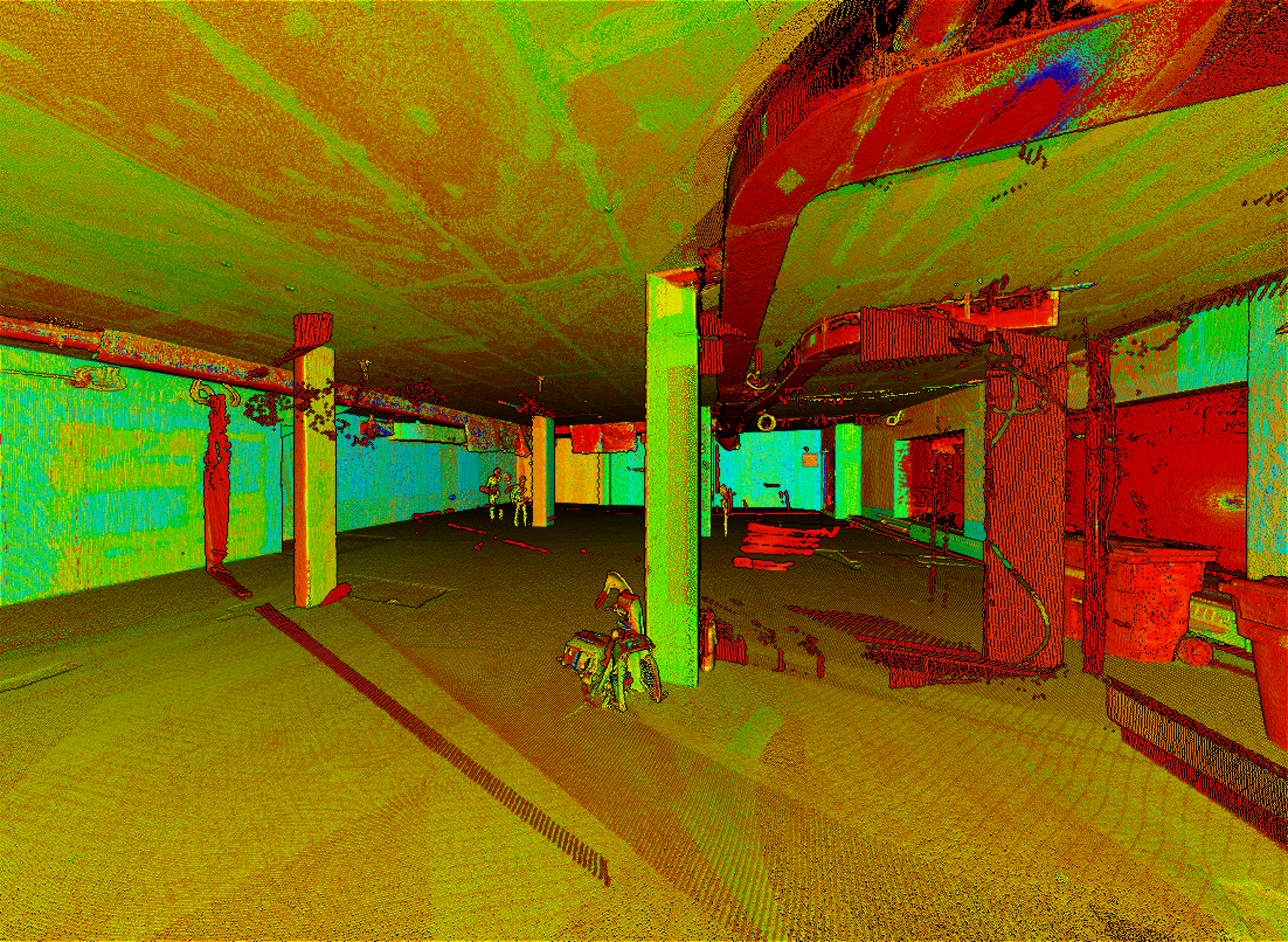
- Verification of dimensions, geometry, and existing conditions
- Integration of scan data with architectural, structural, and MEP systems
- Support for renovations, tenant fit-outs, and complex retrofit projects
- Identification of potential conflicts and coordination challenges early in design
- Virtual visualization of existing spaces to support team collaboration and planning
- Scanning services for clients, architects, interior designers, and planners across multiple site scales
- Digital documentation that improves accuracy, reduces rework, and streamlines workflows, while establishing a reliable and accessible record of existing conditions for coordination, remote review, and potential dispute resolution